
You start to run out of ways to say 'hot and sunny'.
That said, it's now almost June and we still haven't had a big Calima event. With no hot, dry air to scorch the flowers, spring has lasted for ages and temperatures have been mild.
But things are hotting up.
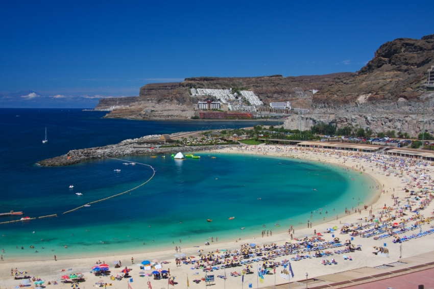
A blob of warm but dust-free air floated over the Canary Islands during the weekend and hangs around until Wednesday. The result is blue skies and a general rise in temperature all over Gran Canaria. Expect temperatures up to 25ºC in the shade (it'll feel much hotter on the beaches)
Except in the north where it will be cloudy up to 700 metres. This is because the hot African air is sitting above the clouds blown against the island by the Trade Winds. They are trapped, like a fart under a duvet.
It's known as a thermal inversion and means that, at least in north Gran Canaria, it's currently much warmer up in the highlands than at sea level.
After Wednesday, the Saharan air blows over and the Trade Winds weaken. Expect sunny mornings with clouds building up during the day (because there's no wind to blow them away). There may even be the odd afternoon shower in the east and south.
The sea will be calm all week and is already starting to warm up.