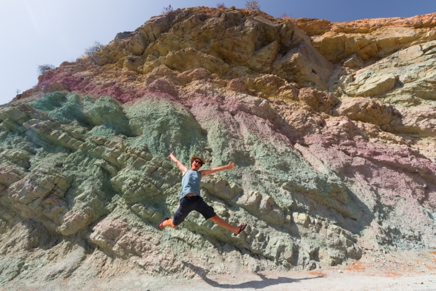
Gran Canaria's 13 Million Year Old Psychedelic Rocks
Drive the GC 200 west coast road from Mogán to Agaete and your first stop is Fuente de Los Azulejos just past Veneguera village.
GC 15: The North Route Up To The Cumbres
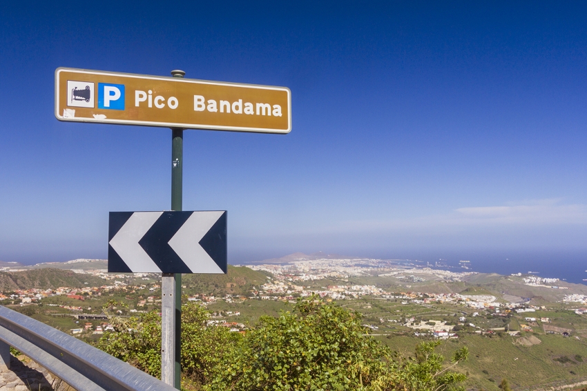
The GC 15 is the main northern route up from Las Palmas to Cruz de Tejeda and the Gran Canaria highlands. It's windy but wide and runs through the green valleys and hillsides of northeast Gran Canaria and a series of interesting towns and villages.
GC 200: Gran Canaria's Most Spectacular Road
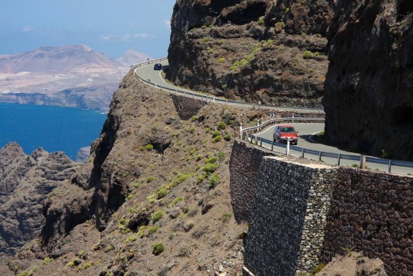
The GC 200 has it all from hairpin bends to sheer cliff-edge drops. It's Gran Canaria's most spectacular road and takes you right through the Biosphere Reserve along its most remote coast.
GC 210: Dropping Into Wilderness
Steep and hair-raising, the GC 210 road drops from the pine-shrouded cumbres right down to the west coast town of La Aldea de San Nicolas. It's the kind of the road that fries brake pads and makes grown men cry (we've seen it happen).
But wow, is it spectacular.
GC 210 starts between Cruz de Tejeda and Tejeda on the GC 60. First you drive through Artenara, Gran Canaria's highest village: Stop for views of the island's central caldera and its iconic rocks. Further on the road drops steeply in a series of hair pin bends and get glimpses of the cave village of Acusa Seca (look behind you) and the emerald green Presa de Parralillo reservoir.
The most famous viewpoint here is by the renovated old windmill: A great spot for the photos without having to stop in the road.
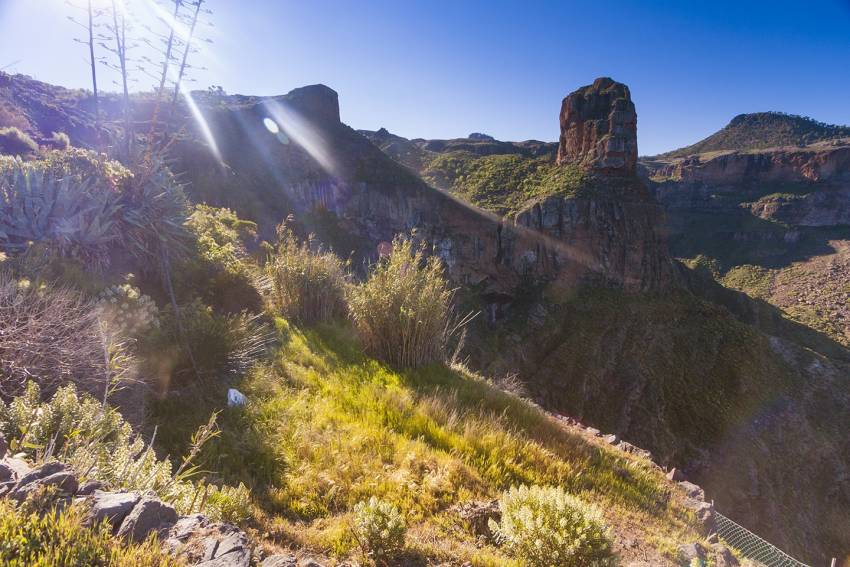
This is Gran Canaria at its wildest with huge masses of volcanic rock cleaved by deep ravines. Nobody has lived here since pre-Hispanic times apart from a few goatherds.
The GC 60 links up with the GC 606 that takes you back up to the main road, but it's a steep old climb with huge drop-offs and no barriers.
Otherwise, you come out in La Aldea and have to choose between going north or south along another lunatic road: The GC 200. North takes you along the cliff edge route up the west coast to Agaete and south heads inland through the steep Degollada de Tasarte back to the south.
GC 606: The Wildest Drive In Gran Canaria
Gran Canaria's least-driven road takes you to white villages surrounded by palm and almond trees and past Roque Palmés: Little brother to Roque Nublo.
The GC-606 road is only 12 kilometres long according to Google Maps but takes a good hour and a half to drive as it is barely wide enough for a car and long stretches are barrier-less. It's spectacular or terrifying, depending on how you handle heights.
Starting as a fork on the GC-60 between Tejeda and San Bartolomé (Tunte) it winds downhill to the tiny hamlets of El Toscón and Carrizal de Tejeda before linking to the GC 210 that links Tamadaba with La Aldea. Between the two is a viewpoint overlooking Roque Palmés.
The lower half of the road is the scariest as there's nothing between you and the Barranco bottom hundreds of metres below. Stop for great views back towards the Tamadaba massif and the Presa de Parralillo reservoir in the valley.
This pie slice of the island tucks into a fold and is hidden from the main Cumbre roads. That and the fact that it links up to another crazy road: The GC 210 between Artenara and La Aldea, make it Gran Canaria's least driven tarmac route.
For an idea of just how wild and rugged west Gran Canaria is we recommend it: Just takes things slowly and use the horn on the blind bends.
Gran Canaria Info recommends:
- Default
- Title
- Date
- Random


