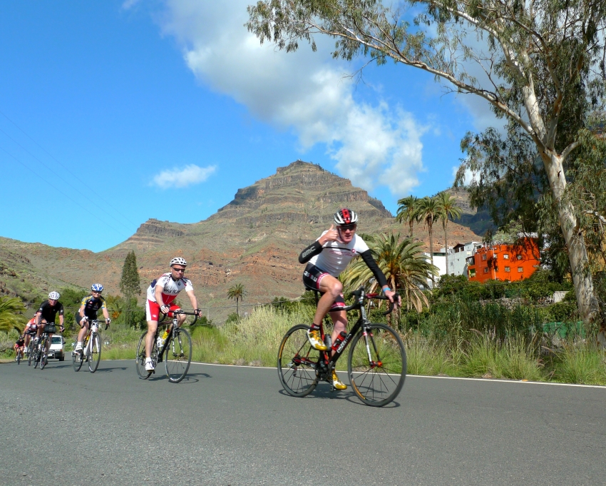
Assuming you’re with a guided group, we stay in formation behind the guide for the first 7km. We have numerous roundabouts, lefts and rights to take, so stay in touch,. The speed will be low so just keep that 360 going so you get used to the new environment.
From 7km across from a bus stop at the Space Station, ( yes we have one), we have a clear run to KM13. This point is also the finish of the ride and at the end we’ll ride in formation to the hotel, because of the traffic. But more of that later.
There’s two very sneaky hills in this 6km that everyone makes the mistake of charging along on the flat sections in the big ring, high on the sunshine that flashes off the sea. The deceptive gradient is enough to wind you and when you see riders sailing by you in the 34, you’ll know you’ve cocked it up, so stay fluid on the gear and use a high cadence to get up and over.
At KM13, there’s a roundabout where we get everyone back together and get the HRs down for a long flat to the supermarket at 25/30kph to KM23. I’d stay out of the big ring again and use a high cadence to keep your legs loose. The stop is obvious when you arrive, so no worries if you fall back.
The highlight of the day is about to start after a 3km roller to the foot of the Soria climb. It pitches up like a ladder in front of you at KM27. Almost 7km long and relentless; from here on you are on your own so if you span your legs, stayed out of the big ring, had a snack at the supermarket, you should be feeling OK. If you haven’t then it shows you still have the impetuosity of youth and are paying for it big time.
My Strava tells me I’ve done this climb nearly 70 times so I know the only way is a steady fast cadence in whatever gear you feel comfortable in. After turn 1 there’s usually a headwind, but by turn 2 after 200m it’s a tailwind so don’t feel too despondent.
This climb will take you about 40 to 45 mins and there’s one cruel 14% 50m section when you least need it, after you first meet the pine trees, after that it’s 7 or 8% all the way to the Barranquillo sign. The Guide, usually me, when I get to top, I wait for the next riders, and they wait while I go back down to see where everyone is and how they are, moral support or abuse depending on the day.
For now it’s lunch at Casa Feranado, a great little suntrap another 2km along a roller. The lentil stew there is great and I’d recommend getting some food because, although it’s only 35km to the finish at that bus stop we spoke about earlier, we have several sections that are very draining, a 7km descent, hard on the back and neck, a 14km full on big ring TT to the coast and a 6km seaside with 2 horribly vindictive climbs, maybe with a head wind. If you need water ask for it and we’ll make it happen, this is no place to be feeling dehydrated, all the negative effects come on very quick.
Back to the descent, I’ve only ever seen one crash on this, young lady cut wide on a right hander and hit a car, probably day dreaming, if you’re reading this, you’ll know it’s you. So use the road, cut in tight on any blind curves and look over the fence where possible to see what’s coming up as most of the road is directly beneath you.
Don’t get Vincenzo with anyone if this ain’t your thing, if you have an off there’s lots of paperwork, so save your beans for the TT to the coast, we can be clocking 40kph plus on average or closer to 50kph if everyone’s on the same radio station. So stay tuned and in the break.
The method of the chaingang here is once you’ve done your turn, we usually change the lead at every KM marker,is that you flick a glance for safety over your left shoulder and move left about 1,5m to let your draftee come through, give an elbow twitch for encouragement if required.You then drift to the back and wait for the front again.
If you fall off the back, don’t get imperious about it, it just means you’re not firing on all pistons today. The last 6km to the bustop at KM59 will have 2 x 300m sprint climbs about 8% to clean out the bottom of your cereal bowl, yes take that gel now! We stop for a few moments to get everyone together and take a drink and then roll back to the hotel for a silent scream into the pillow.


