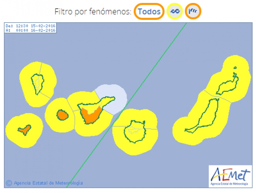
The island is braced for winds of up to 85 kph and waves of up to six metres on Monday and Tuesday. The winds will be strongest in the northeast, southeast and all over the highlands while the north and northeast coasts will get the biggest waves.
Both the Spanish AEMET weather service and the Canarian government has issued warnings about the wind and waves so please stay away rocky shores and cliff edges.
North Gran Canaria will definitely be cloudy and wet for most of the week. However, because the weather is coming down from the north, south Gran Canaria may not get that much cloud.
The San Agustín to Maspalomas stretch of coast will be windy but could well be sunny while the calmest and sunniest bit of Gran Canaria will be the southwest between Arguineguín and Puerto de Mogán. Here's how to get there by bus from Playa del Inglés and Maspalomas.
Temperatures in Gran Canaria are to drop because of the cold air, but will still be in the low-to-mid twenties during the day.
Come Friday, things could get even worse with a second wave of weather due to hit Gran Canaria. However, it is too soon to make a firm prediction as the most recent weather models suggest that it is veering east and could miss the island completely. If this second pulse of cold air does hit Gran Canaria it could even leave snow right at the top of the island.
As always, we'll keep you updated on our Gran Canaria weather forecast page.
Alex Says: Here's a useful article about things to do in Gran Canaria when it rains.


