Cool, wet air is pushing down from the North Atlantic towards the Canary Islands but is colliding with warmer, dusty air extending west from North Africa. At the moment, the African air is keeping any rain and clouds away from the Canary Islands like a giant shield.
What it means is that Gran Canaria will have largely clear skies, albeit with a touch of calima dust, until at least Wednesday. By midweek, the Atlantic air, driven by the Trade Winds will push back over the islands bringing cloud to the north of Gran Canaria.
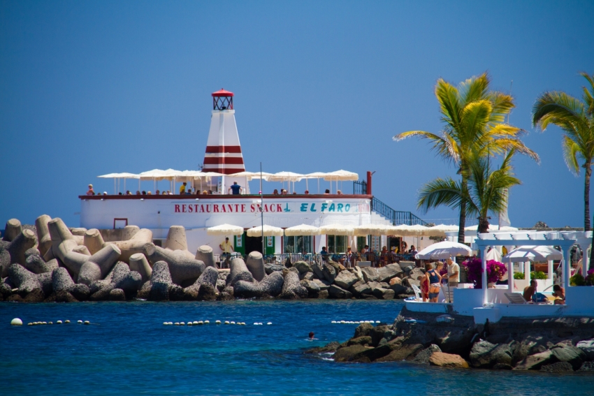
However, there is no sign that we'll get any significant weather this week and you can expect south Gran Canaria to be sunny and warm if a touch windy in exposed places.
Surfers need to get into the water ASAP as the week's best swell is due today (Job, what job?). There will be fair surf all week along the north coast, but nothing in south Gran Canaria until the end of the week.


