Go West: Playa de La Aldea
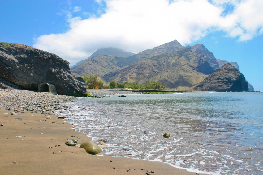
Split in two by a little headland, La Aldea is the west coast's only beach that's accessible by car.
GC 200: Gran Canaria's Most Spectacular Road
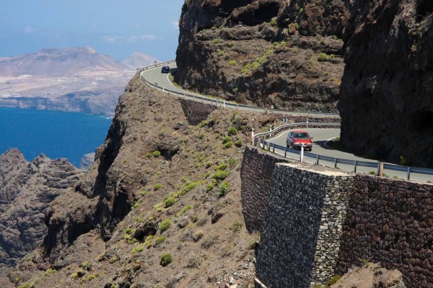
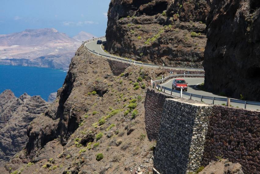
The GC 200 has it all from hairpin bends to sheer cliff-edge drops. It's Gran Canaria's most spectacular road and takes you right through the Biosphere Reserve along its most remote coast.
GC 210: Dropping Into Wilderness
Steep and hair-raising, the GC 210 road drops from the pine-shrouded cumbres right down to the west coast town of La Aldea de San Nicolas. It's the kind of the road that fries brake pads and makes grown men cry (we've seen it happen).
But wow, is it spectacular.
GC 210 starts between Cruz de Tejeda and Tejeda on the GC 60. First you drive through Artenara, Gran Canaria's highest village: Stop for views of the island's central caldera and its iconic rocks. Further on the road drops steeply in a series of hair pin bends and get glimpses of the cave village of Acusa Seca (look behind you) and the emerald green Presa de Parralillo reservoir.
The most famous viewpoint here is by the renovated old windmill: A great spot for the photos without having to stop in the road.
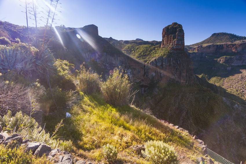
This is Gran Canaria at its wildest with huge masses of volcanic rock cleaved by deep ravines. Nobody has lived here since pre-Hispanic times apart from a few goatherds.
The GC 60 links up with the GC 606 that takes you back up to the main road, but it's a steep old climb with huge drop-offs and no barriers.
Otherwise, you come out in La Aldea and have to choose between going north or south along another lunatic road: The GC 200. North takes you along the cliff edge route up the west coast to Agaete and south heads inland through the steep Degollada de Tasarte back to the south.
GC 606: The Wildest Drive In Gran Canaria
Gran Canaria's least-driven road takes you to white villages surrounded by palm and almond trees and past Roque Palmés: Little brother to Roque Nublo.
The GC-606 road is only 12 kilometres long according to Google Maps but takes a good hour and a half to drive as it is barely wide enough for a car and long stretches are barrier-less. It's spectacular or terrifying, depending on how you handle heights.
Starting as a fork on the GC-60 between Tejeda and San Bartolomé (Tunte) it winds downhill to the tiny hamlets of El Toscón and Carrizal de Tejeda before linking to the GC 210 that links Tamadaba with La Aldea. Between the two is a viewpoint overlooking Roque Palmés.
The lower half of the road is the scariest as there's nothing between you and the Barranco bottom hundreds of metres below. Stop for great views back towards the Tamadaba massif and the Presa de Parralillo reservoir in the valley.
This pie slice of the island tucks into a fold and is hidden from the main Cumbre roads. That and the fact that it links up to another crazy road: The GC 210 between Artenara and La Aldea, make it Gran Canaria's least driven tarmac route.
For an idea of just how wild and rugged west Gran Canaria is we recommend it: Just takes things slowly and use the horn on the blind bends.
Gran Canaria Drives: The Ridiculous West Coast Road
CLOSED: The GC 200 west coast road between La Aldea and El Risco closed for good in 2016. The new inland road, now part of the GC 2 is now open. From El Risco until Agaete you can still enjoy the stunning sights from the GC 200.
The West Coast road is Gran Canaria's most dangerous and ridiculous road. It's also one of Europe's top drives with cliff edge moments that have vertigo sufferers clambering out of the windows. It's not for the faint-hearted and if the government has it's way it'll be permanently closed within a few years.
If you like your motoring, it's worth renting a good car for the day just to experience the curves and switchbacks before the route drops into the ocean.
Driving from the south, head inland from Puerto de Mogán and take the turnoff towards Veneguera beach. Then just drive, perhaps with a stop at the green and purple rock stain for a smoothie at the roadside juice bar. Carry on through the Degollada de Tasartico gorge until you get to La Aldea town on the west coast. Drive through the town until you get to the pebble beach ( a great spot for a snack) before heading uphill again towards the Anden Verde cliffs (follow the signs for Agaete and Las Palmas).
Stop at the El Balcón lookout point for a cliff-edge view of the Dragon's tail to the south and the cliffs stretching north to Puerto de las Nieves. Then it's onwards to the highest stretch of road. If you're in any doubt as to the dangers of this road, then the huge rock-catching nets will convince you.
There's nothing along the road except for eye-popping drops and hairpin bends until you reach El Risco village. Stop at the ramshackle bar / shop in El Risco (try the mature cheese: It's as strong as it gets) or walk inland through the village and up the valley to Charco Azul pool and waterfall. You'll wind up every dog in the village but don't worry, they are harmless.
From El Risco carries on to Agaete town with its white houses and faint smell of mangos and coffee. Congratulations; you've done the West Coast road. Now you either turn around and drive it again on the outside of the road, or carry on to Las Palmas and back to the resorts via the motorway.
Warning: This road is often closed during and after rains due to fallen rocks. Do not attempt to drive it during rain! In 2010 a Guardia Civil policeman was killed after a storm while checking to see if it was clear. As of January 2015 bicycles, mopeds and motorbikes are banned on the road.
The road won't be around forever. Plans are afoot for a faster inland route and eventually, the original road will be allowed to drop into the sea. Apparently, its potential as a tourist route isn't high enough to justify the costs of clearing after the rains.
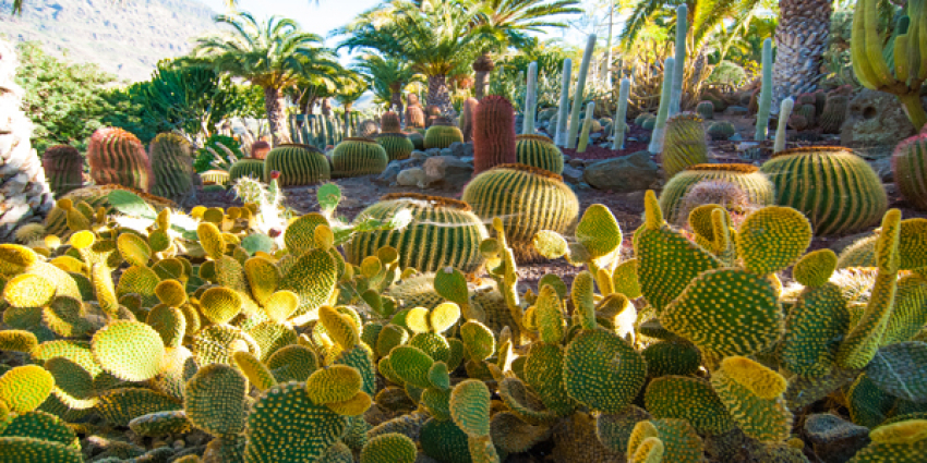
Cactualdea: Europe's Biggest Cactus Park
Gran Canaria Info recommends:
- Default
- Title
- Date
- Random

