Strong Winds In Gran Canaria But Heavy Rain Unlikely
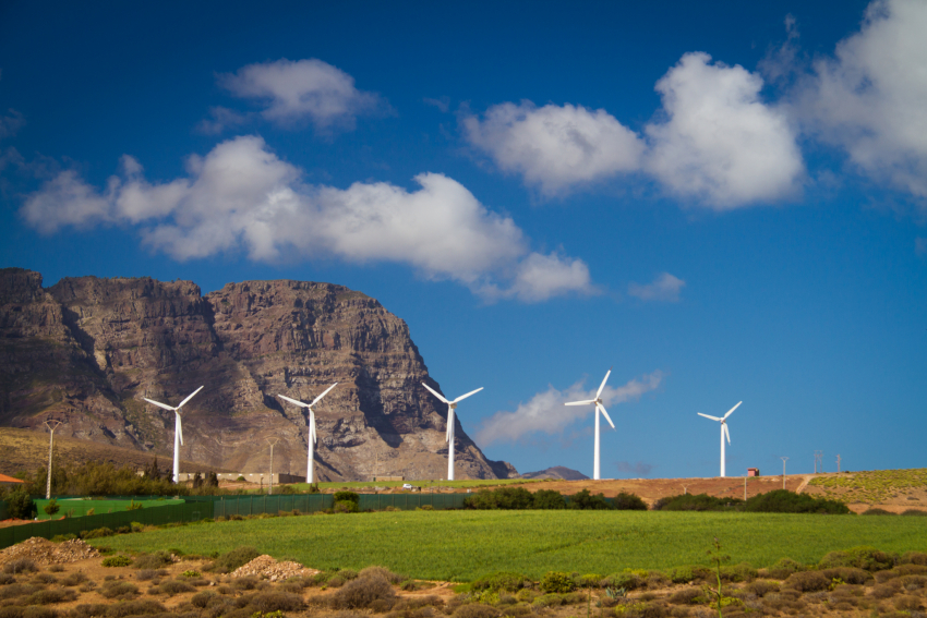
A low pressure system just to the east of the Canary Islands will cause strong winds for the next two days but heavy rain is unlikely.
Big Tuna Weather Heading To Gran Canaria?

13.01.2018: There's a cut-off blob of cold air heading south towards the Canary Islands and it could produce serious rain in Gran Canaria and the eastern islands through the middle of next week.
Gran Canaria Weather Forecast: Clearing Up After The Rain

After a cool weekend with showers all over Gran Canaria and some welcome heavy rain up in the highlands, the weather in Gran Canaria will return to normal throughout the week.
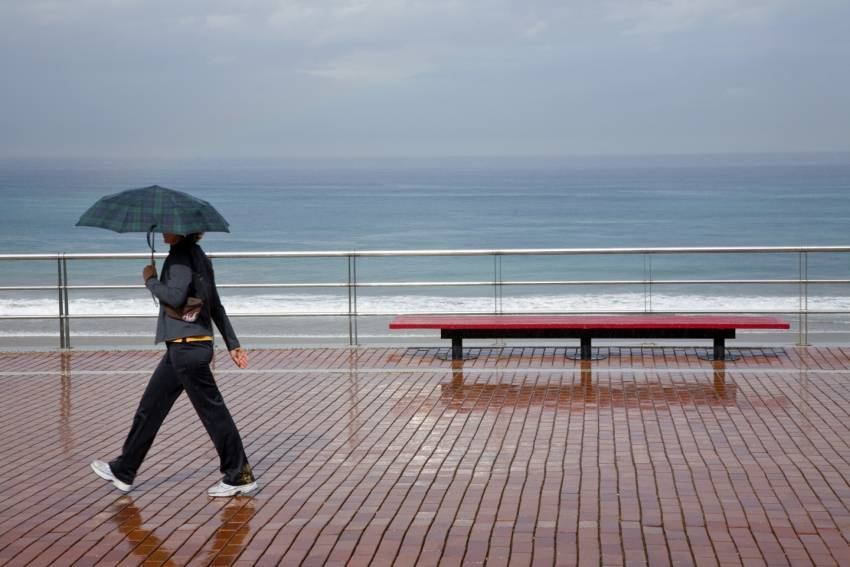
Three Kings Bring Rain And Cool Temperatures to Gran Canaria
A blast of cold, wet air from the north is due to hit Gran Canaria and the Canary Islands on Three Kings Day (January 6th).
Gran Canaria Weather: Christmas Week Sunny With Cool Evenings

Christmas week 2017 is set to be sunny with cool evenings although we may get a bit of dust blowing over from North Africa.
Cool Weekend With Sunshine In South Gran Canaria
A new blast of cool air from the north arrives in Gran Canaria just in time for the weekend. It will bring cloud and showers to north Gran Canaria but shouldn't have any effect on the resorts apart from a few cloudy patches.
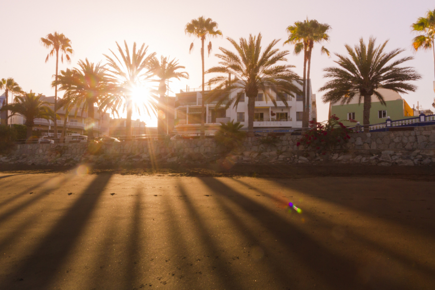
Weather Incoming: Rain, Wind & Waves Arrive Overnight
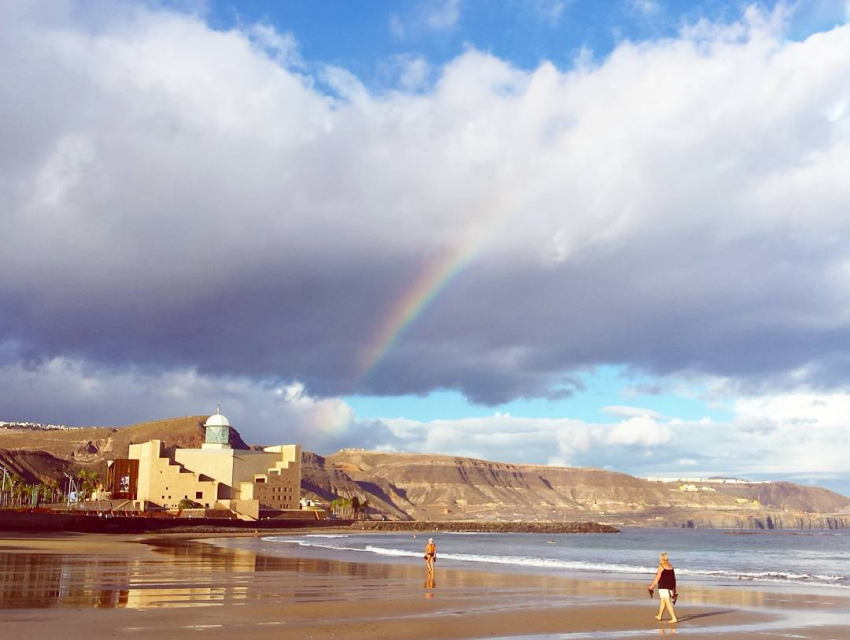
It may not feel like it this morning, but there's a band of wind and rain heading towards Gran Canaria that is due to arrive late on Monday night.
Dusty Air Over Gran Canaria This Week
The clouds and rain that sat over Gran Canaria last weekend will fade away through today and a new blast of dusty African arrive arrives tomorrow.
Gran Canaria Weather: Cloudy(ish) End To The Week
The hot southern air that brought unseasonably high temperatures to Gran Canaria over the weekend is fading away and temperatures will drop by a few degrees over the next couple of days.
Weekend Rain In Gran Canaria: Maybe!
The weather system heading towards the Canary Islands looks like it will drop plenty of rain on the western islands but there is a good chance that it will stall before reaching Gran Canaria.
Gran Canaria Info recommends:
- Default
- Title
- Date
- Random


Join the Gran Canaria Info newsletter list
Features
Gran Canaria info recommends
-

The Best Value Car Rental Service In Gran Canaria
-

Gran Canaria Shopping: Start At Fundgrube For Price & Quality
-

Casa Romantica: A Classic Gran Canaria Restaurant Reborn
-

Hassle-Free Gran Canaria Car Hire
-

Which Gran Canaria Airport Transfer Service Is The Best?
-

Off The Beaten Track With A Gran Canaria Buggy Trip
- 1
Follow us on Facebook
Tip of the day
-
Tip Of The Day: Buy Gran Canaria Property The Right Way
If you're thinking of buying a Gran Canaria property and don't speak fluent Spanish, get professional help.
Latest articles
Who's Online
We have 5310 guests and no members online